


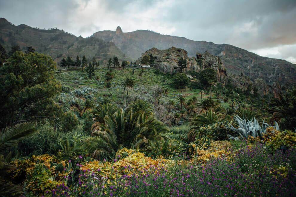
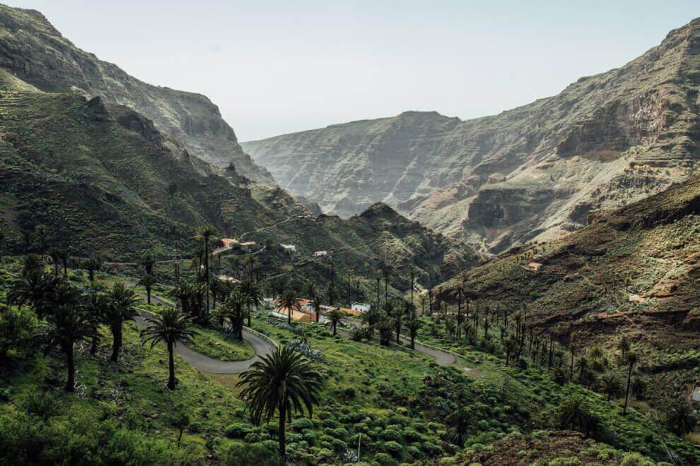
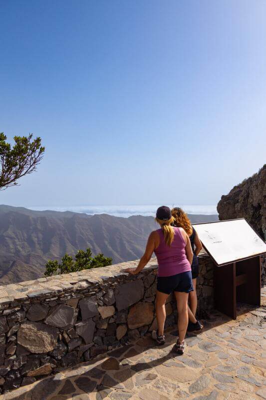
Degollada de Peraza- Chipude
La Gomera
Imágenes
Imagen

Imagen

Imagen

Imagen

Imagen

Imagen

Imagen

Imagen

Imagen

Imagen

Imagen

Imagen

Imagen

Imagen
Imagen

Imagen
Imagen

Imagen

Imagen

Imagen
Sustainability
Sostenibilidad
- Never leave waste of any type lying around, including cigarette butts. Leftover food leads to a proliferation of rats and wild cats, which pose a serious threat to the fauna.
- Respect the animals. Do not bother them or feed them. If you see an injured specimen, you can call the emergency number: 112. Do not pick flowers or plants.
- Do not pick up or take away stones or any other item from the natural environment. And do not move them to pile them up into sadly famous 'towers'.
- Respect the signposting along trails. Leaving the set paths causes damage to the environment and could also be dangerous for you and anyone with you.
- It is safer to keep your pet on a lead.
- Try not to alter the peace of the environment with excessive noise (loud music, yelling, etc.).