


Cultural Tourism. The Walls of Water
La Gomera


Distance from Point A to Point B: Targa, 1.8 km
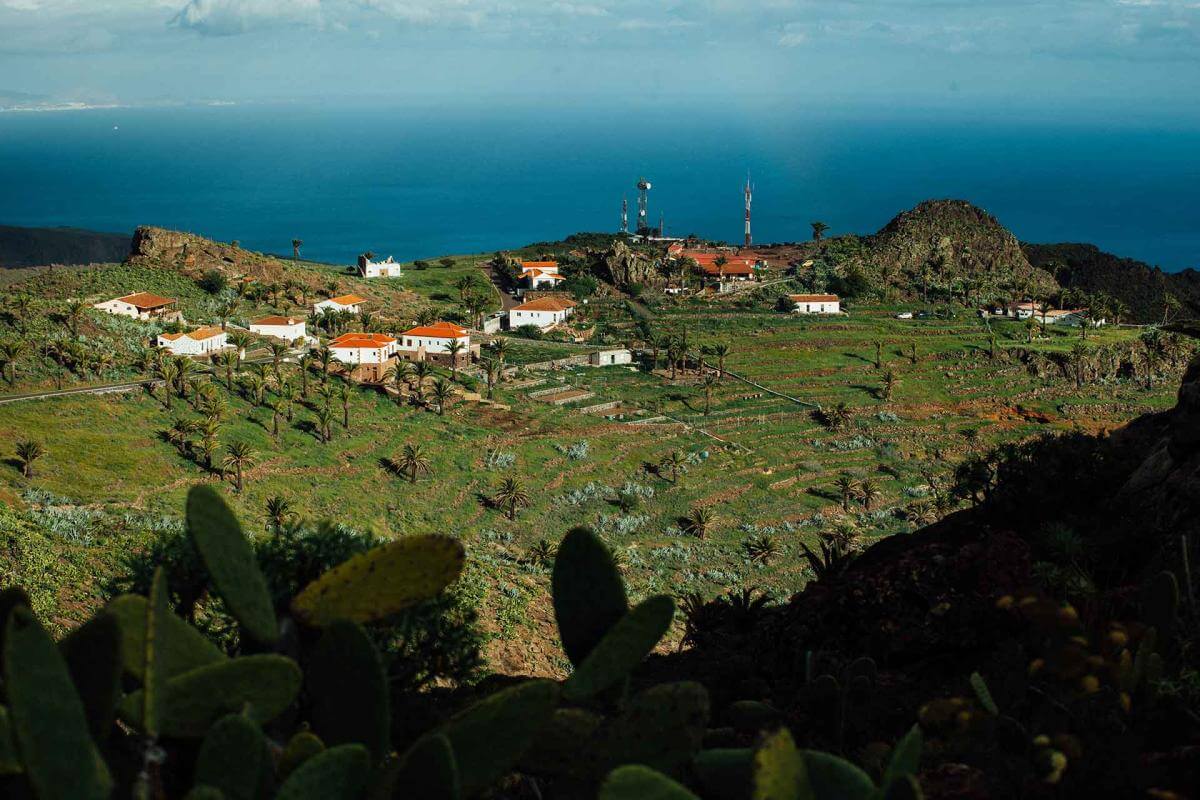
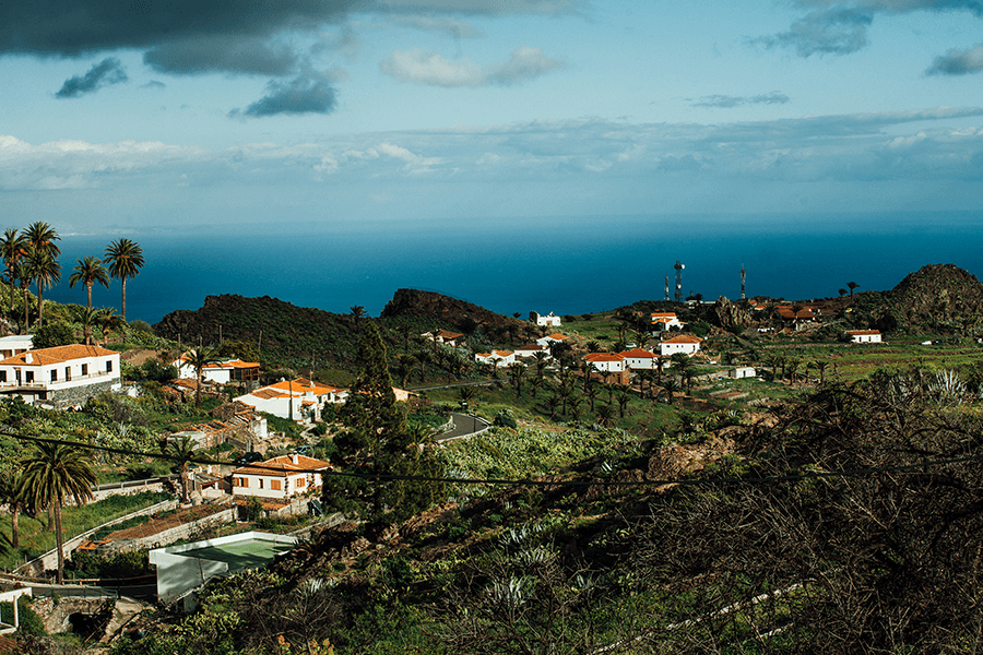
The route begins at this viewpoint overlooking the historic centre, a natural balcony that introduces visitors to the agricultural landscape of the hillside. It is the perfect starting point to understand how water has shaped local life and the economy.
Distance from Point B to Point C: Presa del Sao: 1.9 km
A small rural hamlet set among gentle hills and shaped by its traditional agricultural landscape. From this point begins the approach to the system of dams that transformed this part of the municipality during the 20th century.
Distance from Point C to Point D: Presa de Antoncojo: 0.5 km
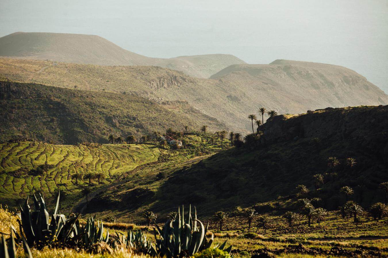
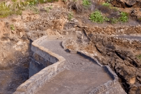
Possibly the oldest dam in the water system of the Sao ravine. Today it is a small, almost silted-up reservoir, but historically it played a key role in distributing water to the irrigated farmland on the southern side.
Distance from Point D to Point E: Presa de Cardones: 0.5 km
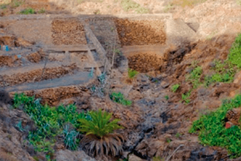
Built in 1920, it is the second-oldest dam on La Gomera and one of the first major masonry works promoted through private initiative.
Distance from Point E to Point F: Bus stop on the road: 1 km
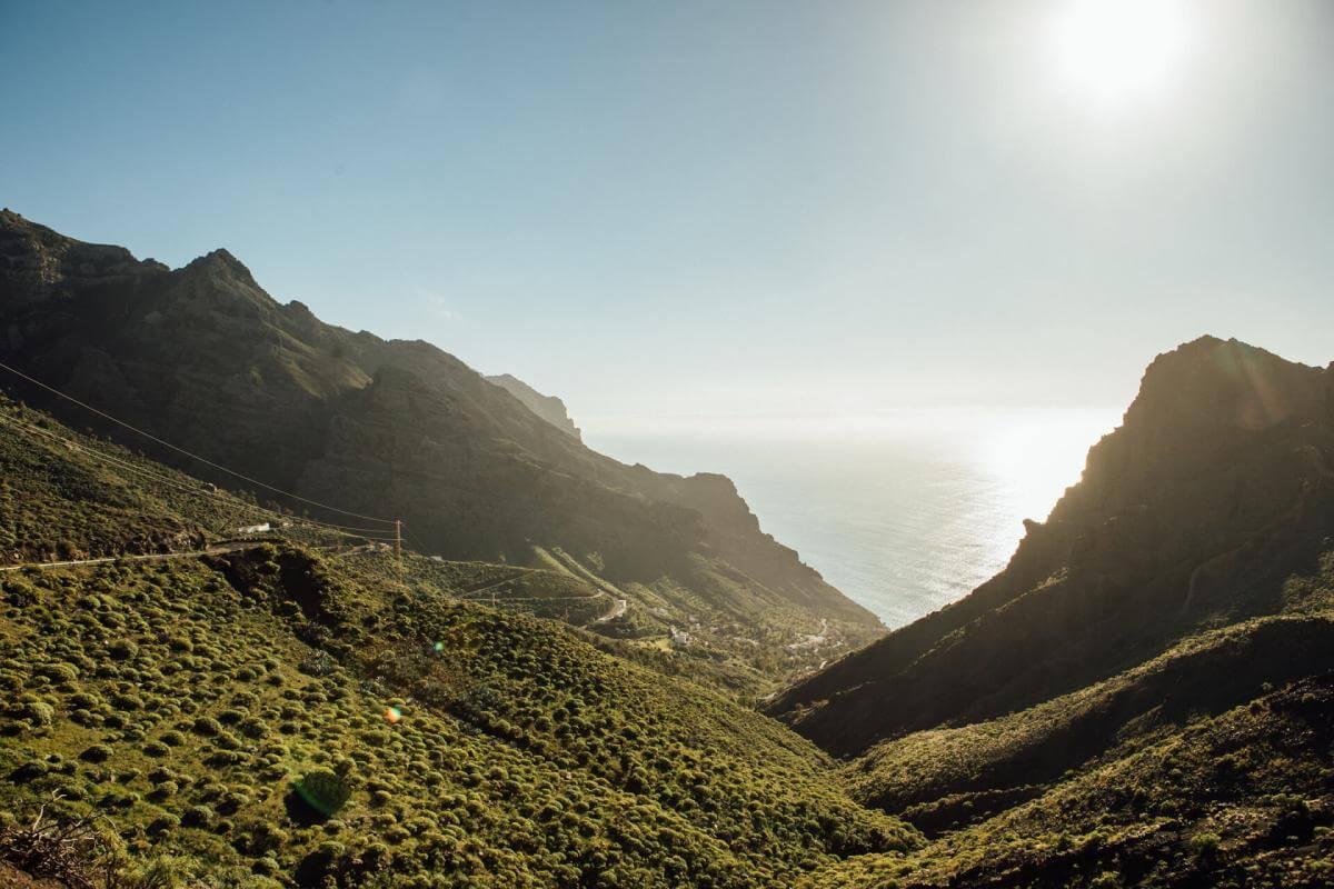
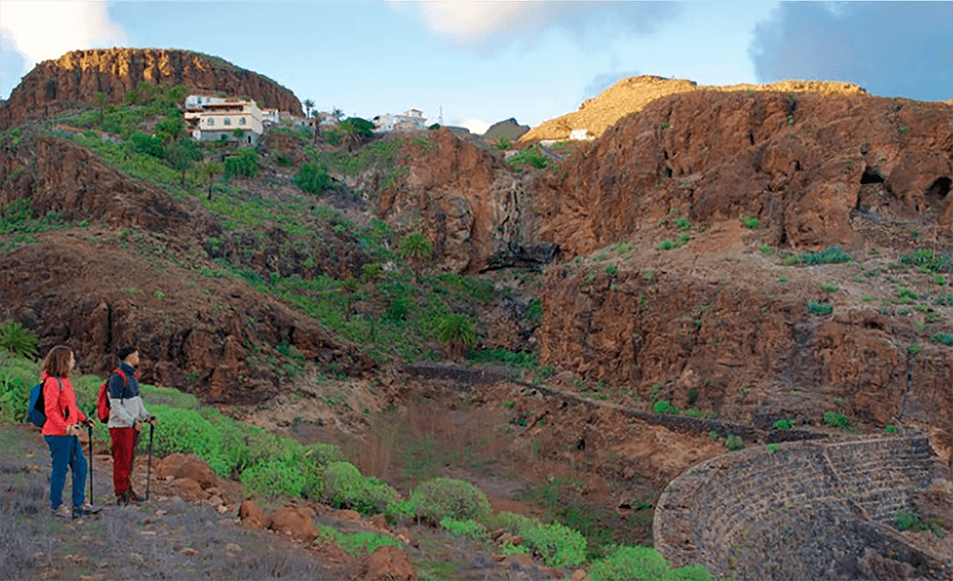
The last privately owned dam on the island, completed in 1953. It marks the end of an agricultural export era that shaped the identity of the valley. From this point, visitors understand the value of water in an arid territory and how these infrastructures supported decades of economic activity.
- Never leave waste of any type lying around, including cigarette butts. Leftover food leads to a proliferation of rats and wild cats, which pose a serious threat to the fauna.
- Respect the animals. Do not bother them or feed them. If you see an injured specimen, you can call the emergency number: 112. Do not pick flowers or plants.
- Do not pick up or take away stones or any other item from the natural environment. And do not move them to pile them up into sadly famous 'towers'.
- Respect the signposting along trails. Leaving the set paths causes damage to the environment and could also be dangerous for you and anyone with you.
- It is safer to keep your pet on a lead.
- Try not to alter the peace of the environment with excessive noise (loud music, yelling, etc.).